Hawai‘i Emergency Management Agency launches interactive map of statewide alert sirens : Maui Now
[ad_1]
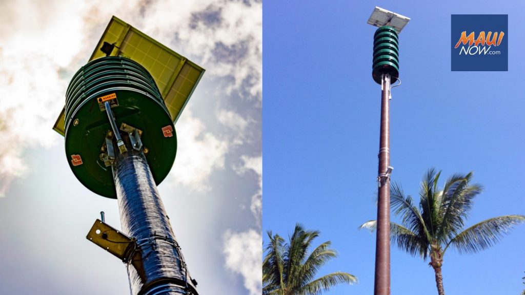
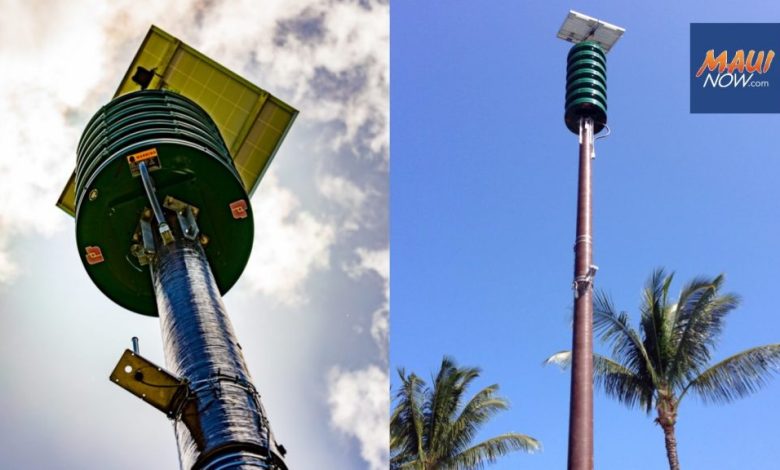
The Hawai‘i Emergency Management Agency has posted an interactive map showing the location of 418 alert and warning sirens across the state, as well as their operational status as of the most recent monthly test.
The sirens are tested on the first business day of each month. The data now displayed on the map reflects the results of the test conducted Oct. 2, 2023:
- Total sirens: 418 (100%)
- Fully operational sirens: 326 (78%)
- Requires maintenance: 29 (6.9%)
- Requires maintenance with contracting support: 37 (8.9%)
- Inoperable and beyond repair: 26 (6.2%)
The interactive map displays fully operational sirens in green. Sirens that require maintenance that the Hawai‘i Emergency Management Agency can perform unassisted are in yellow. Sirens that need maintenance that must be performed with contracted assistance are in red. Sirens that are beyond repair are in black.
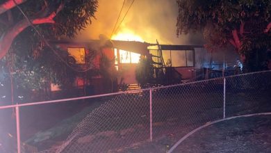
“Some of those blacked-out sirens are close to 60 years old and they need to be replaced, but because of development in the area the sites are no longer suitable,” said James Barros, administrator of the Hawai‘i Emergency Management Agency. “Others have been destroyed by lightning, vandalism or drunk drivers, and at least three burned in the Maui wildfires. This new tool will enable the public to check on the operational status of all the sirens in their communities.”
The agency operates the All-Hazard Statewide Outdoor Warning Siren System as one of the tools it uses to alert the public in the event of an emergency.
The system may be used in the event of any type of imminent hazard to alert the public to seek additional information. That additional information may come through the Wireless Emergency Alert system, which sends alerts to mobile devices, or the Emergency Alert System, which is sent via televisions and radios.
The map may be viewed on the Hawai‘i Emergency Management Agency website at ready.hawaii.gov by selecting “Siren Status Map” under the “Get Ready” tab. You may also scan the QR code below.

“It’s a challenge to keep a complex system such as our siren network running in perfect condition, but this new tool will help to give the public transparency into the system,” Barros said. “That will be vital as we work to improve all our alert and warning systems to improve protection for the people of Hawai‘i.”
The Hawai‘i Emergency Management Agency plans to add additional information and features to the map over time to make it more detailed and useful.
[ad_2]
Source: Maui News